
We began our day in Missoula, Montana. We left Jill and Jerry's house early in order to do some sightseeing on campus and to have breakfast with Mary Therese, one of Linda's college friends. We began the day without knowing our exact route, our stops, what we were going to see, or what time we would end the day and where we would end the day. Despite this recipe for disaster it worked out to be one of the most memorable and enjoyable days of this entire trip.(Which began in June 2017.) 

In Missoula we stayed with Jill and Jerry, the same friends we stayed with when we had our car trouble in the Bay Area. Jill and Jerry spend summers in Missoula with Jill's mother Pat. The threat of COVID means Pat needs some extra attention to make sure adequate precautions are taken.
While in Missoula I found myself thinking a little bit about the fraternity and sorority system in Montana. Most of the houses have closed. I found out that my fraternity still exists, but that the members are living in the dorm. Linda's sorority continues, but does not appear to be as strong as it once was. At best, the University of Montana barely tolerates the Greek houses.
 |
| Main Hall University of Montana |
There are good and bad things about this type of structure. On the good side, we truly had to manage the house that we owned. On the bad side, it became a bit of an "animal house". The drinking age in Montana was 18 when I was attending UM. This produced a lot of human wreckage both in the dorms, but especially in the Greek houses. At the University of Idaho and many other schools, the fraternity houses and the property they sit upon our own by the University which leases it to the Greek houses. This allows the University some measure of control over the students and gives a stable foundation to the houses.


Missoula pretty much always has always been a prosperous Montana community. It is now very liberal. In the 60's and 70's it had a little bit more of a split personality. The University community was liberal, perhaps even radical, but the rest of the town was made up of bankers, businessmen and financiers. That meant that the business conservatives at a chance of electing members of local government and representatives to the legislature. Representatives to the state legislature from Missoula might be Democrats for some years and Republicans in others. Now, they're pretty much all liberal Democrats.
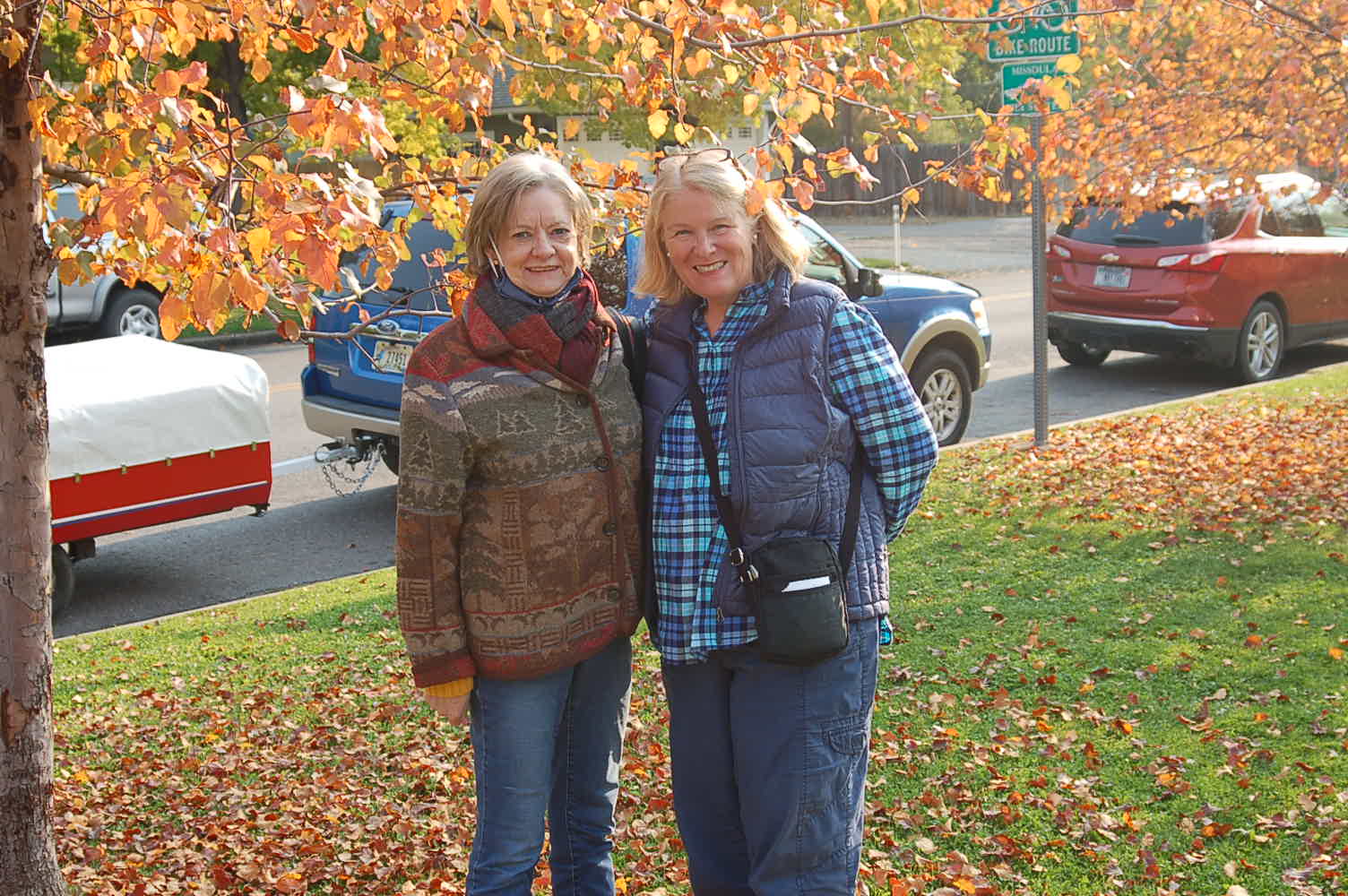
Here are some photographs from our walks around town over the past couple of days:


As you can see, the campus and all of Missoula for that matter were resplendent in the fall colors.

We left Missoula and drove west on Interstate 90. The interstate crossed and re-crossed the Clark Fork River. While most of the towns had an interstate access, it is almost impossible to drive old US 10 from Missoula to Coeur d' Alene.


One point where we exited the highway was east of St. Regis, at Cyr where we drove a segment of US 10 over a steel bridge crossing the Clark Fork River and then back on the interstate. We drove on west to St. Regis. At exit 70, we drove portions of old US 10. A few yards to the north, I thought I spotted another old roadbed. So we stopped the car and I walked about 20 yards to the roadbed on what I think was a segment of the original Yellowstone Trail.


I know that if I am wrong someone will correct me. Along this road I saw a remnants of the post which supported an old guardrail.
We left the interstate again at St. Regis, Montana and took a route known as: "The Camel's Hump". "The Camel's Hump" was used for a few years.

I believe that the name came from a hill to the right of the roadway where we entered the mountain. The hill looks like a camels hump. We drove approximately 8 miles on this segment. It was quite interesting and one of the most beautiful segments of the Yellowstone Trail.


Along this segment of road there is a Forest Service campground called: Circle City. I believe the name comes from a private campground near the town of de Borgia where "Circle City" was located. (It was a campground that dates back to the1920's, but as travelers began demanding better facilities, campground owners started building cabins.) In de Borgia stands the old Albert Hotel. ( Mr. & Mrs. Albert advertised in the 1928 Route Guide, "clean rooms, first class restaurant, soft drinks, cigars, etc. Road information accurately given".)


This hotel survived the great fire of 1910. Fortunately, east of the hotel is "The Black Diamond Guest Ranch". The owners of the guest ranch purchased most of the cabins from "Circle City" and moved and restored them. Today, the cabins are available for rent. The owners also have horses and lead guided tours of the backcountry.


We returned to the interstate and drove to Lookout Pass. At Lookout Pass we entered Idaho. As we descended the pass, we stopped at the town of Mullan and drove to the city of Wallace. Wallace is the county seat of Shoshone County. It was also the site of a silver mine. There was a fire in the mine in the late 1970's, which killed many miners. There is a monument to the fallen miners between Wallace and Kellogg. Wallace, being a mining town was, like Butte, "wide open". Prostitution and gambling existed until the early 1980s. Just like Butte, you can tour the old houses of prostitution.


Between Wallace and Kellogg sits The Miners Hat, a real estate office. The Miners Hat was once a drive-in by the same name. It would work better as a drive-in, in my opinion, but apparently my opinion does not make economic sense. The Miners Hat sits on the old road on the eastern edge of Kellogg, Idaho. On the road between Wallace and Kellogg there are many street signs labeling the street as the Yellowstone Trail.


We drove next to the Cataldo Mission in Cataldo, Idaho. This is a state park which preserves the oldest building in Idaho, which is a Jesuit mission. The mission was constructed by the Indians, working under the direction of Father DeSmet. Father DeSmet wanted the mission to reflect the finest churches in Europe. The Indians felled the trees and hewn them into the boards that form the mission. The boards are held to the frame by wooden pegs. The mission may be the most interesting and significant building in Idaho. Next to the mission sits the parish house. A beautiful example of American Gothic Revival!


Just east of Coeur d' Alene, we were once again on the old Yellowstone Trail. We followed this somewhat sketchy road into Coeur d'Alene. Again, we were treated to some magnificent scenery and some fine views of Lake Coeur d' Alene. The road put us on Sherman Avenue which is also part of the Old Yellowstone Trail. From Sherman Avenue, we proceeded to our campground on Government Way. The campground is along a busy street and is occupied primarily by construction workers living in large RVs. We were treated to a magnificent sunset and a lot of traffic noise. Today, we will only travel as far as Spokane where we will camp at Riverside State Park.


